Saskatchewan R.M. Maps

Custom requests available

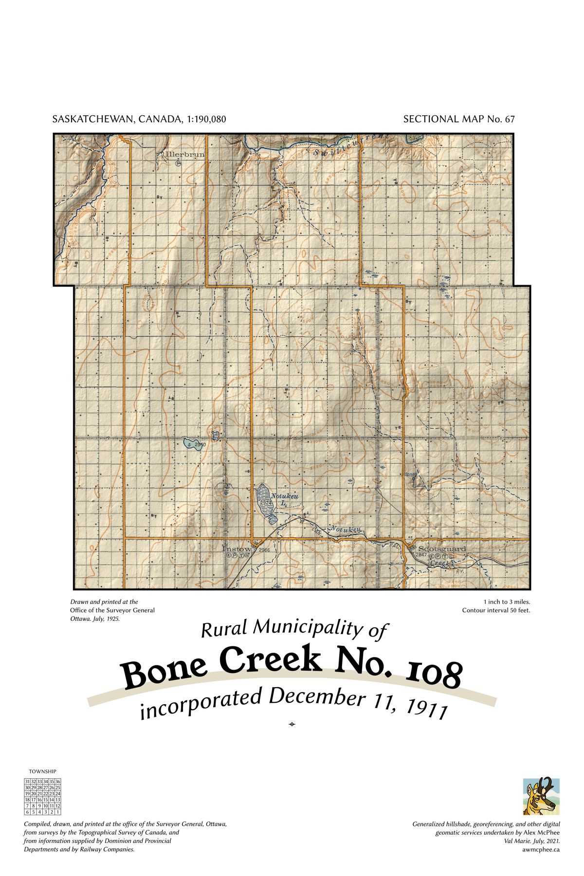
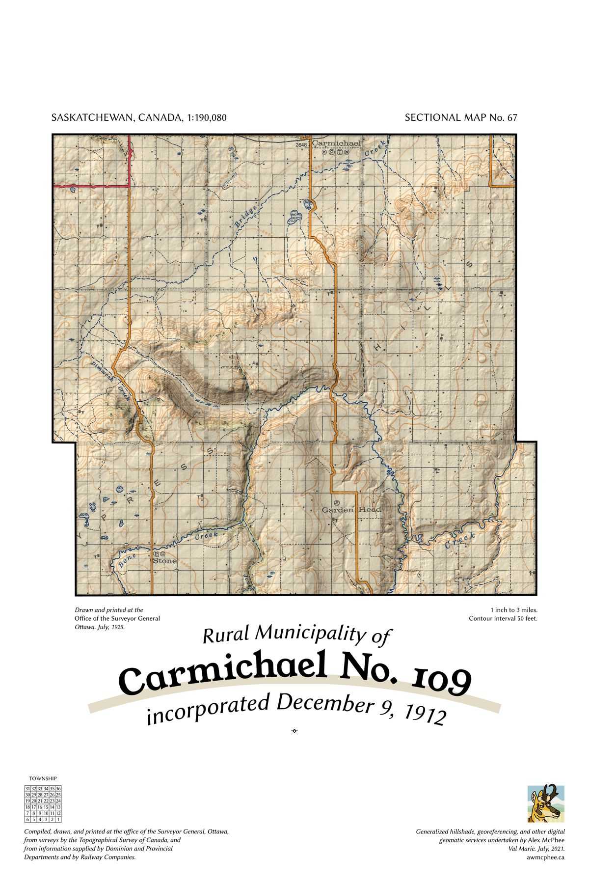
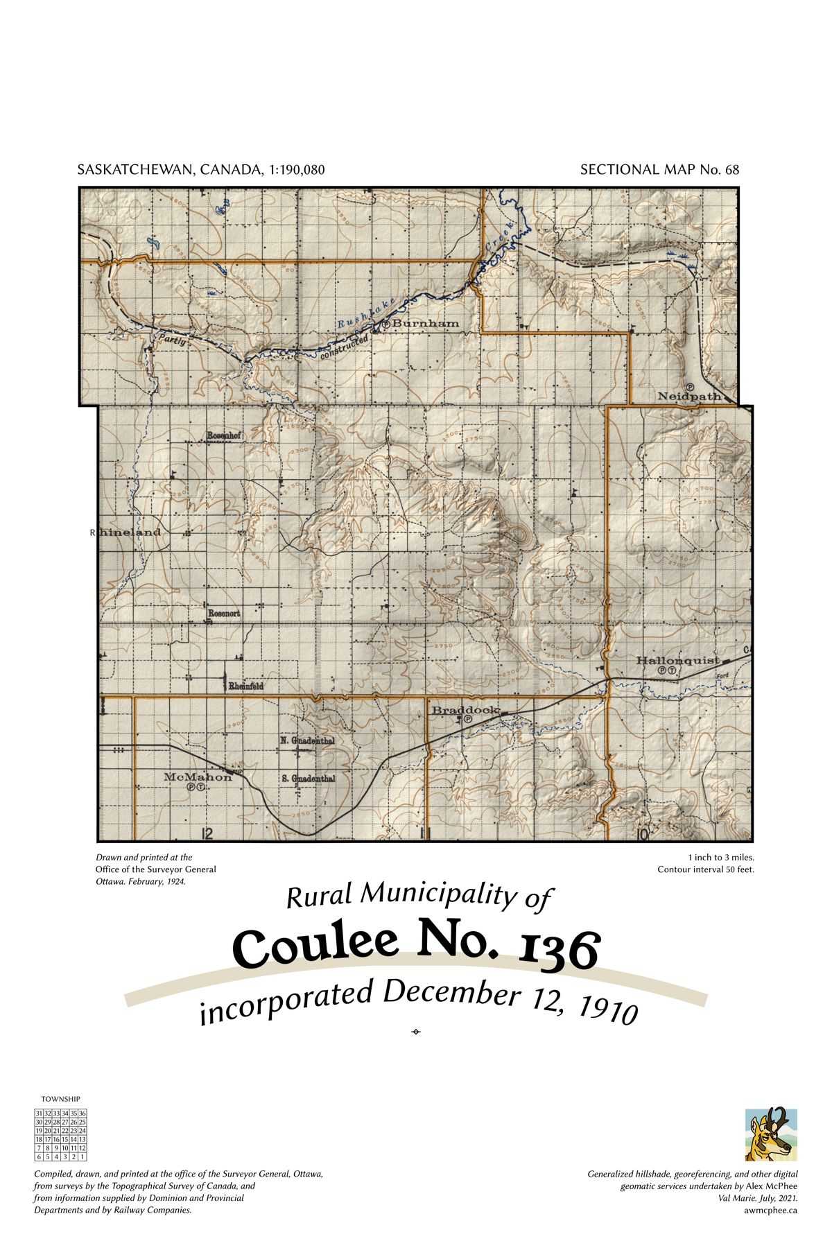
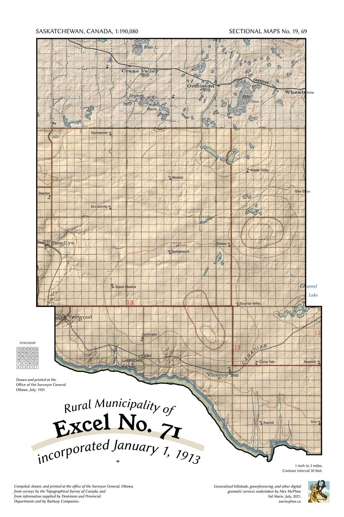
Historic sectional map sheets have been combined with modern relief shading, highlighting country schoolhouses, historic farm locations, and past highway alignments.

These are not current land ownership maps. They are for historical interest and general reference only. They are all printed on 12” x 18” cardstock.

All retail for $25 a copy, $10 flat shipping.

Current Inventory
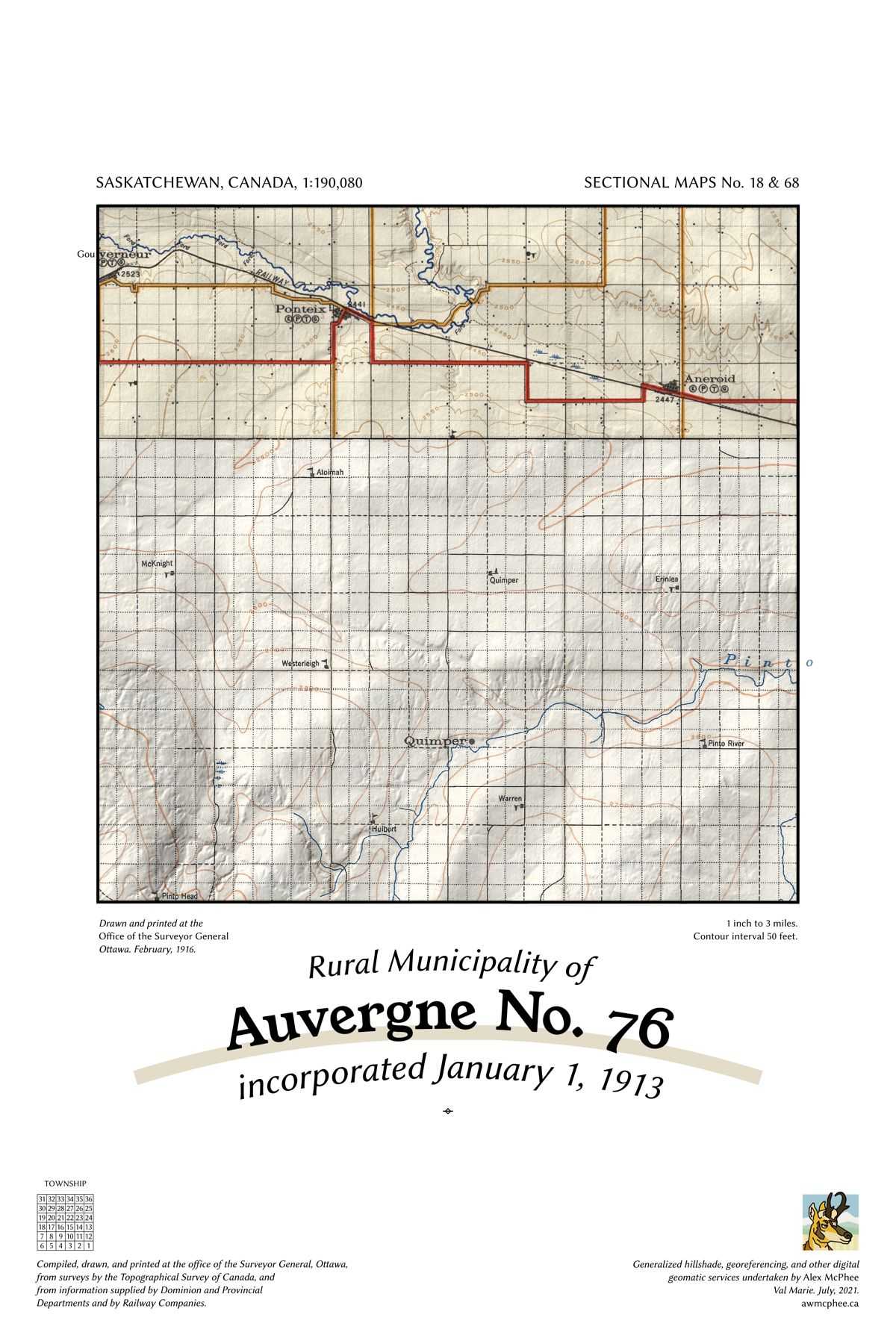
A map of the Rural Municipality of Auvergne No. 76.

Auvergne No. 76

A map of the Rural Municipality of Bone Creek No. 108.

Bone Creek No. 108

A map of the Rural Municipality of Carmichael No. 109.

Carmichael No. 109

A map of the Rural Municipality of Coulee No. 136.

Coulee No. 136

A map of the Rural Municipality of Excel No. 71.

Excel No. 71

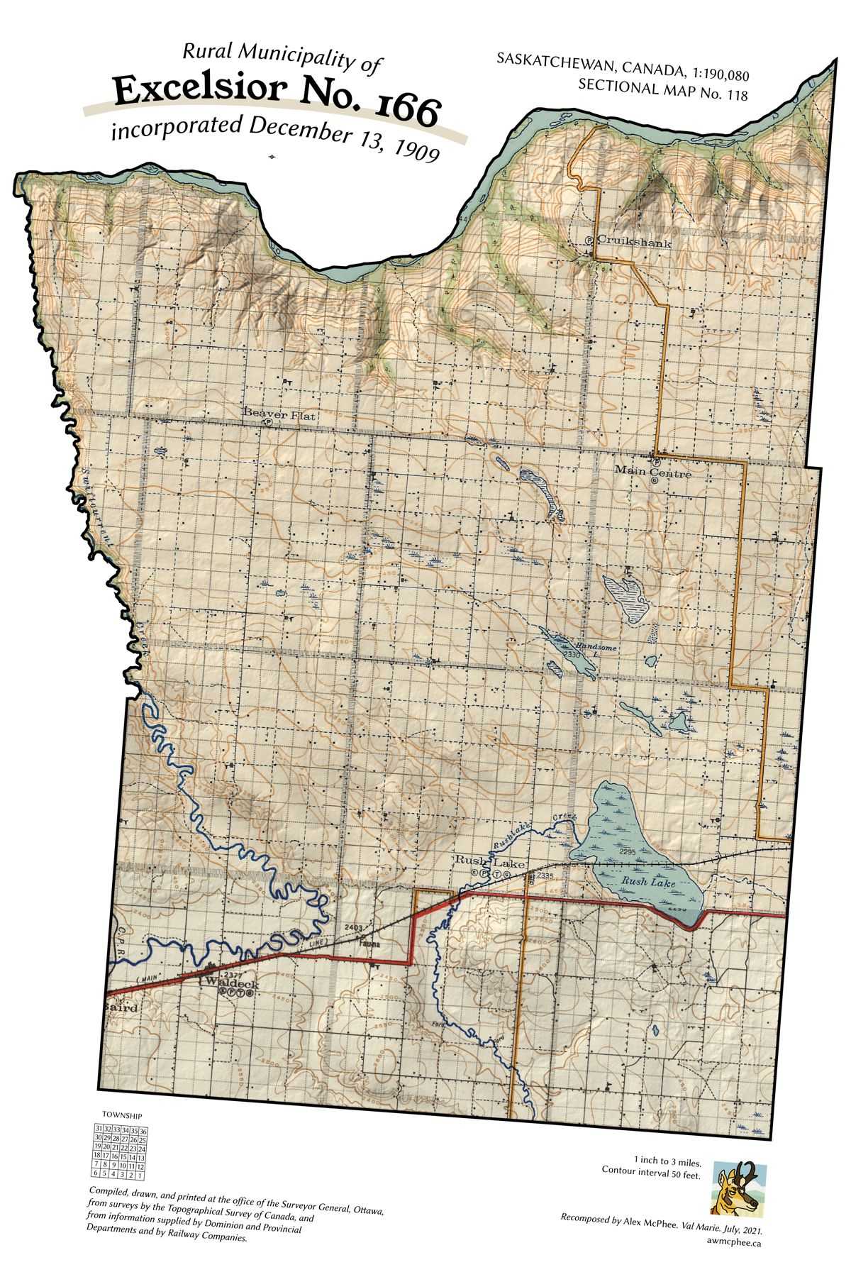
A map of the Rural Municipality of Excelsior No. 166.

Excelsior No. 166

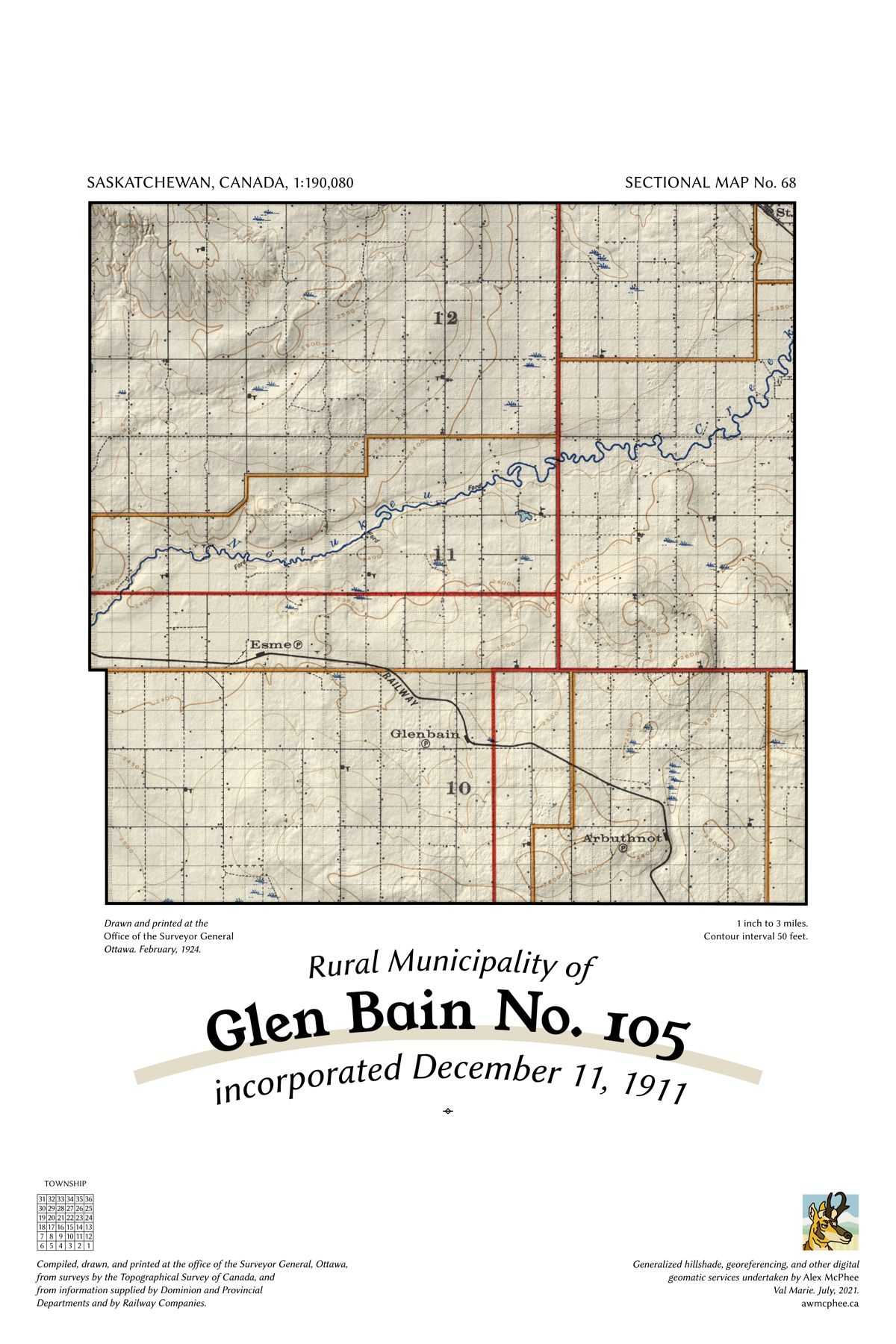
A map of the Rural Municipality of Glen Bain No. 105.

Glen Bain No. 105

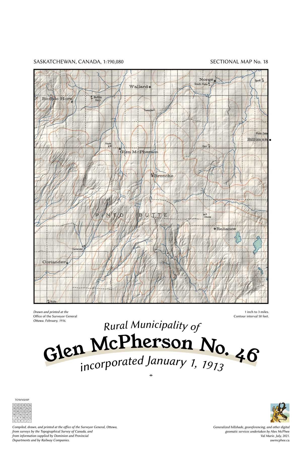
A map of the Rural Municipality of Glen McPherson No. 46.

Glen McPherson No. 46

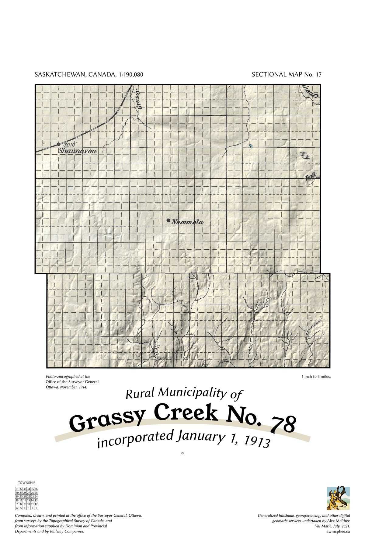
A map of the Rural Municipality of Grassy Creek No. 78.

Grassy Creek No. 78

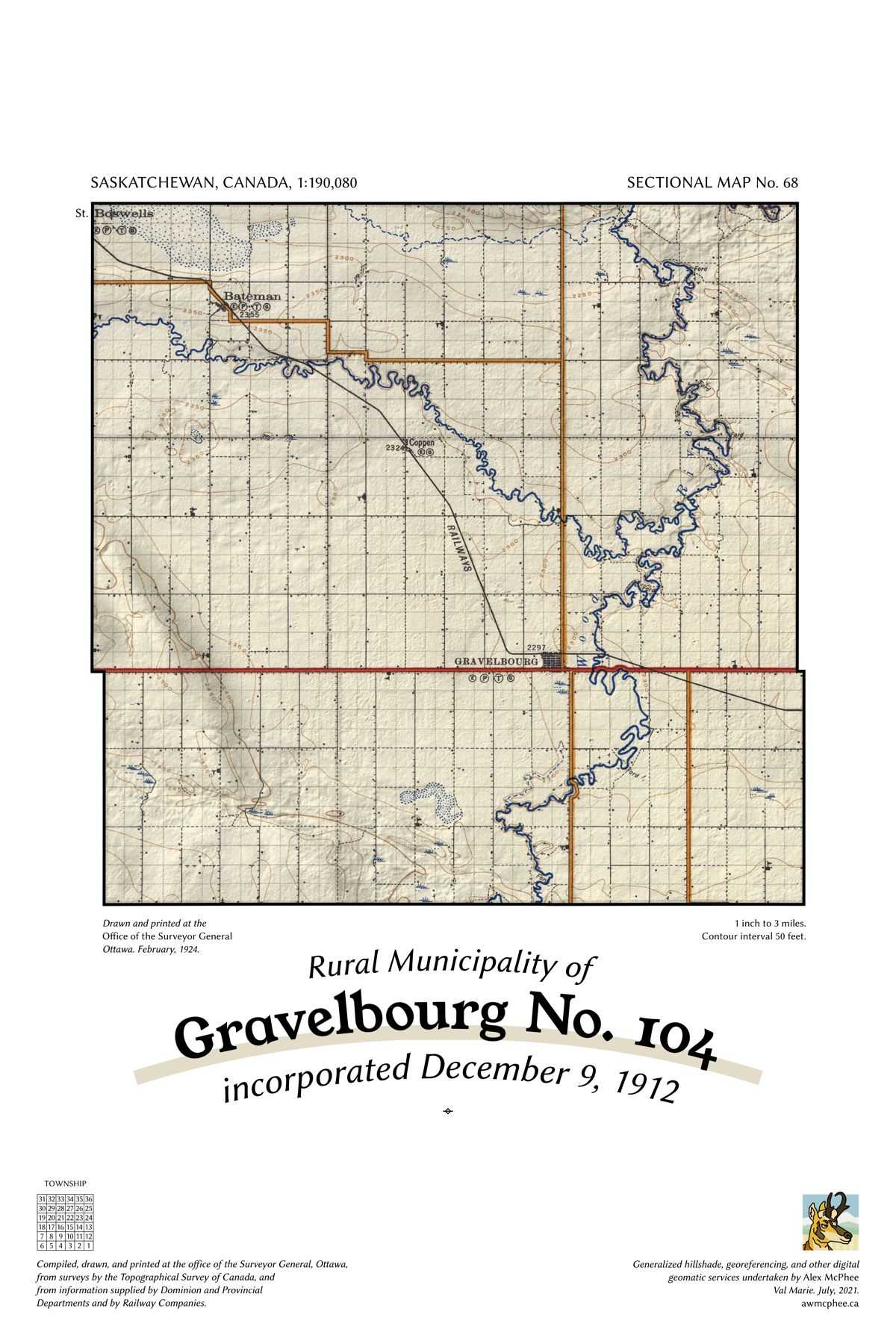
A map of the Rural Municipality of Gravelbourg No. 104.

Gravelbourg No. 104

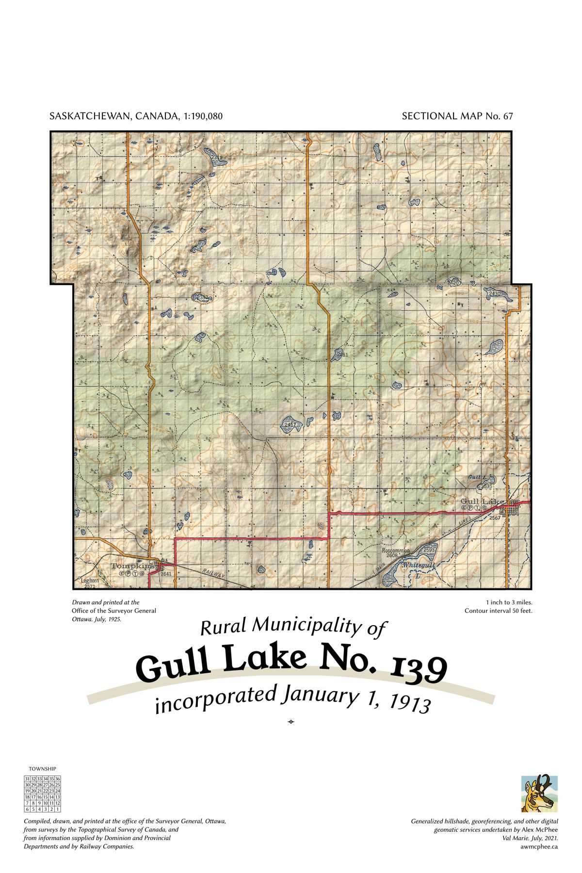
A map of the Rural Municipality of Gull Lake No. 139.

Gull Lake No. 139

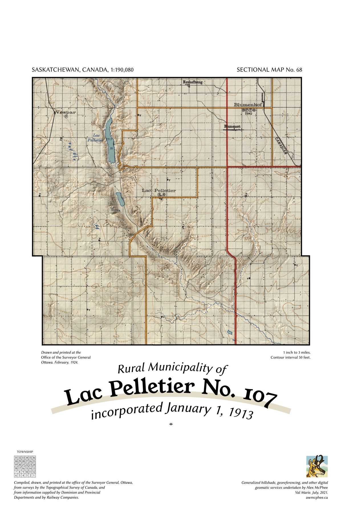
A map of the Rural Municipality of Lac Pelletier No. 107.

Lac Pelletier No. 107

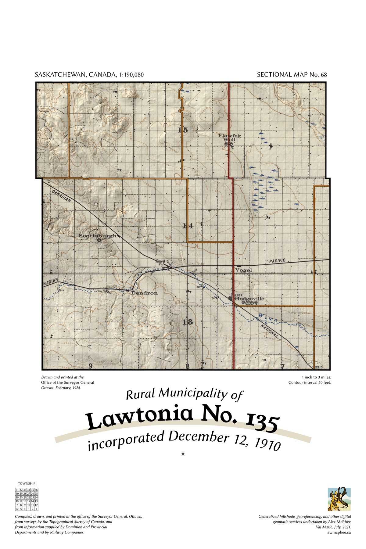
A map of the Rural Municipality of Lawtonia No. 135.

Lawtonia No. 135

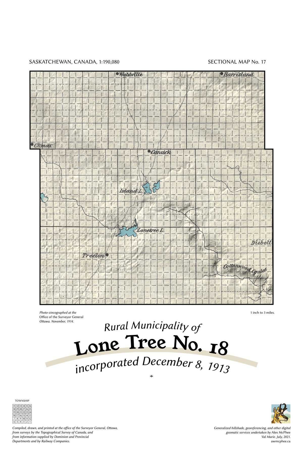
A map of the Rural Municipality of Lone Tree No. 18.

Lone Tree No. 18

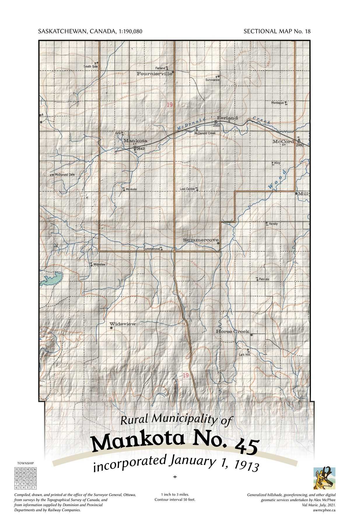
A map of the Rural Municipality of Mankota No. 45.

Mankota No. 45

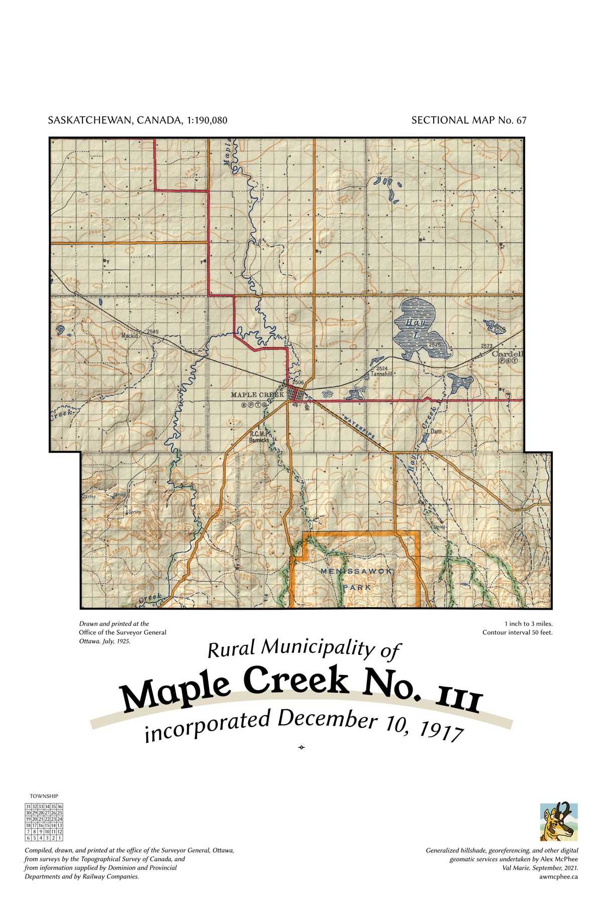
A map of the Rural Municipality of Maple Creek No. 111.

Maple Creek No. 111

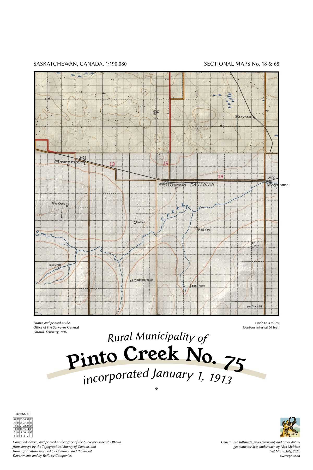
A map of the Rural Municipality of Pinto Creek No. 75.

Pinto Creek No. 75

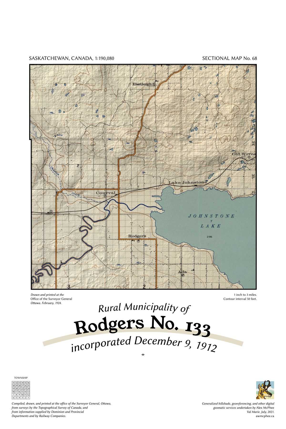
A map of the Rural Municipality of Rodgers No. 133.

Rodgers No. 133

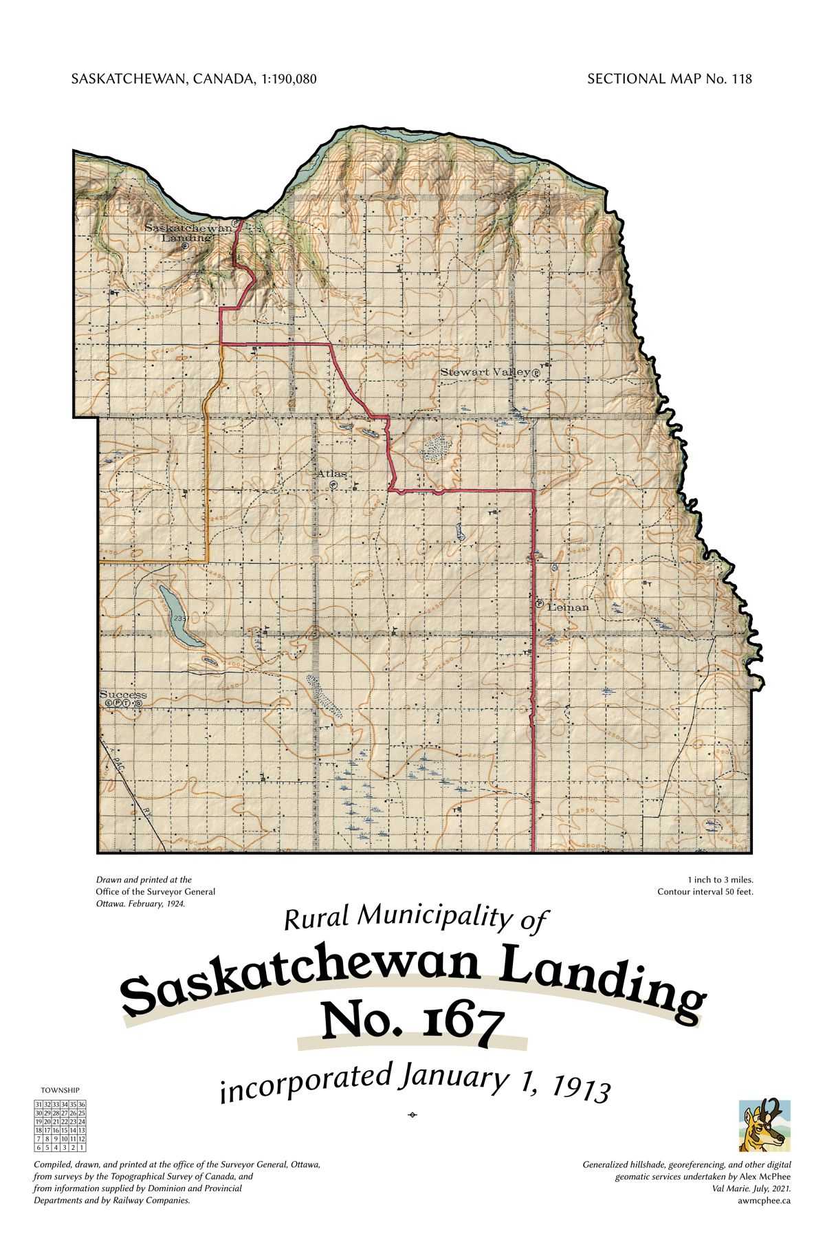
A map of the Rural Municipality of Saskatchewan Landing No. 167.

Saskatchewan Landing No. 167

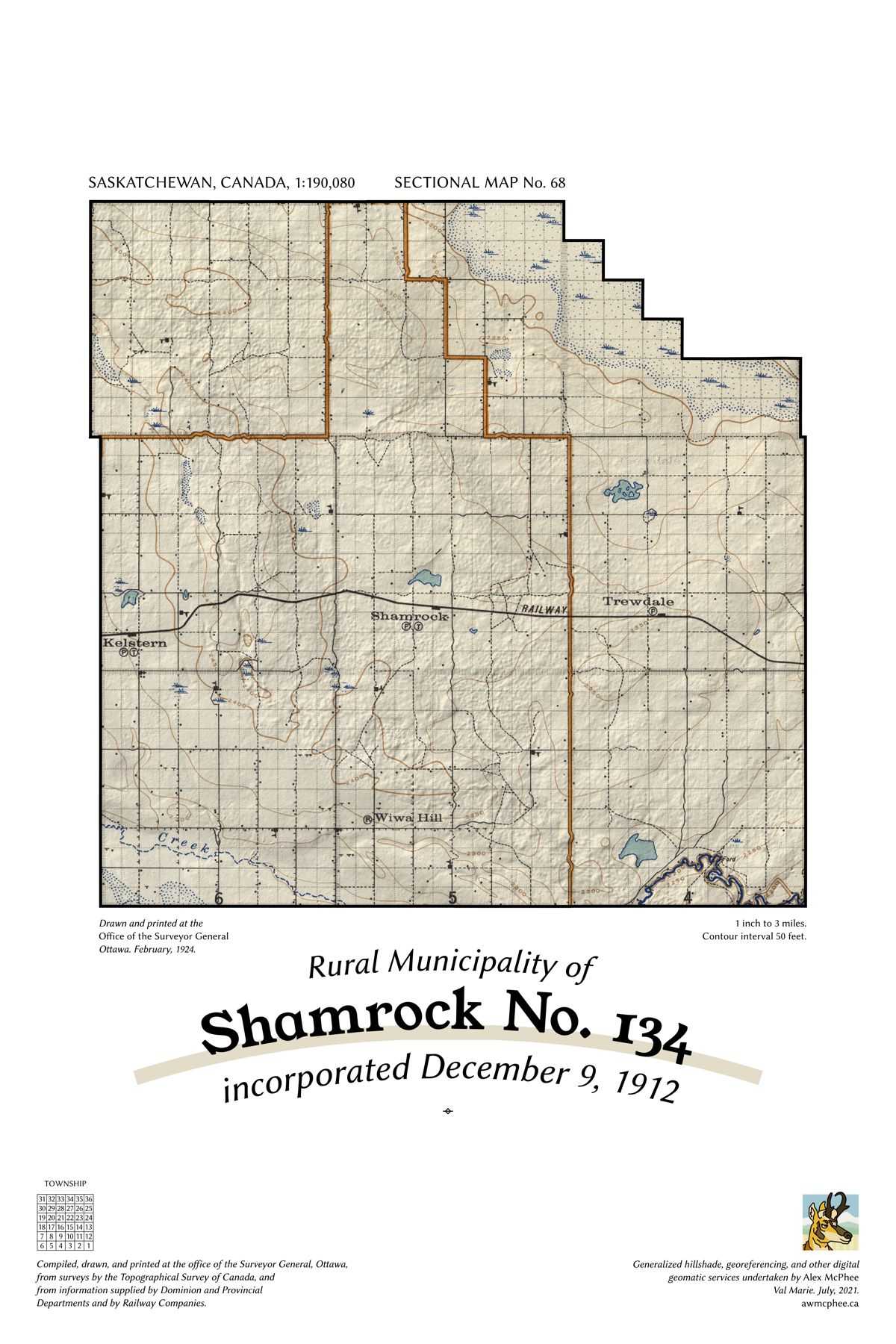
A map of the Rural Municipality of Shamrock No. 134.

Shamrock No. 134

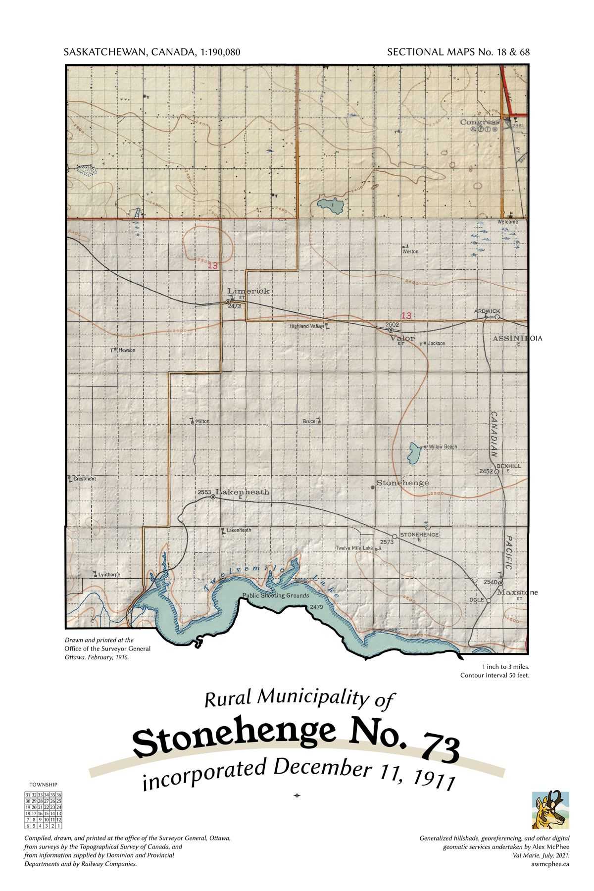
A map of the Rural Municipality of Stonehenge No. 73.

Stonehenge No. 73

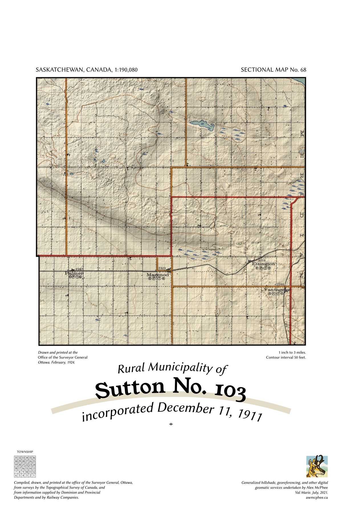
A map of the Rural Municipality of Sutton No. 103.

Sutton No. 103

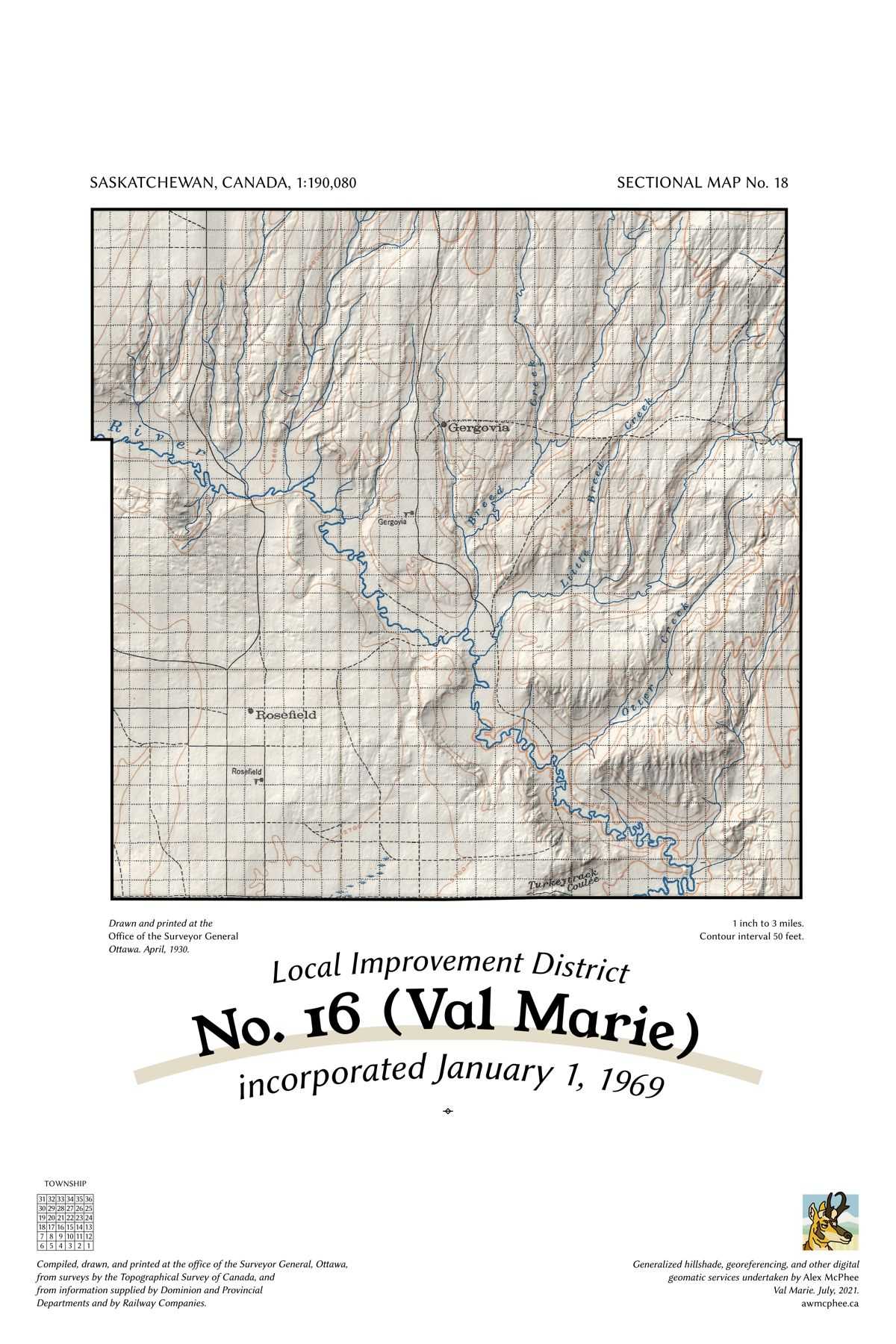
A map of the Rural Municipality of Val Marie No. 17.

Val Marie No. 17 (L.I.D. 16)

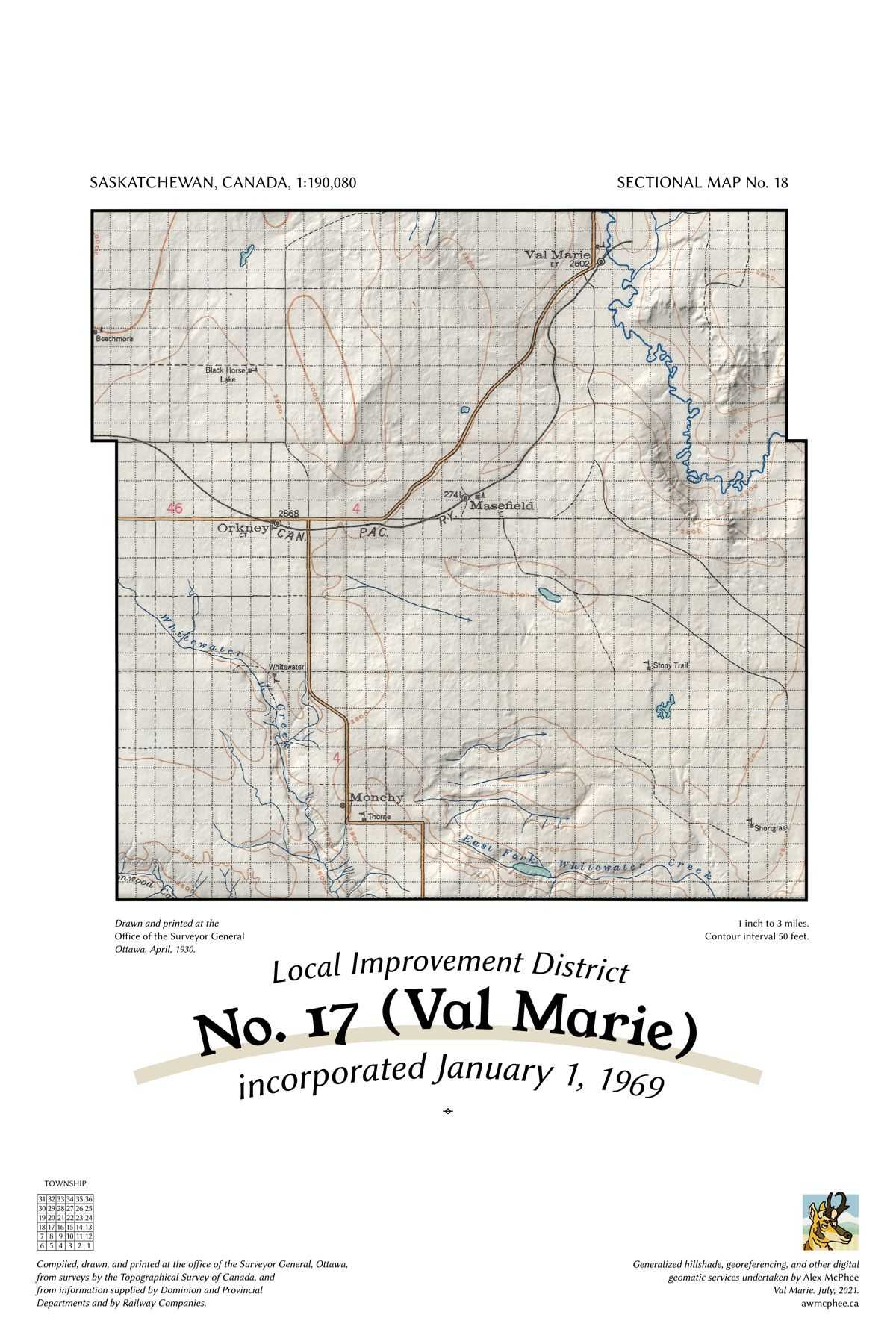
A map of the Rural Municipality of Val Marie No. 17.

Val Marie No. 17 (L.I.D. 17)

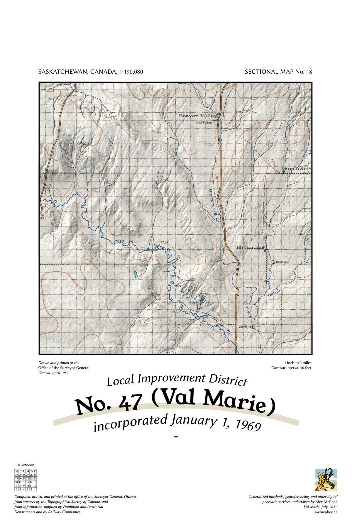
A map of the Rural Municipality of Val Marie No. 17.

Val Marie No. 17 (L.I.D. 47)

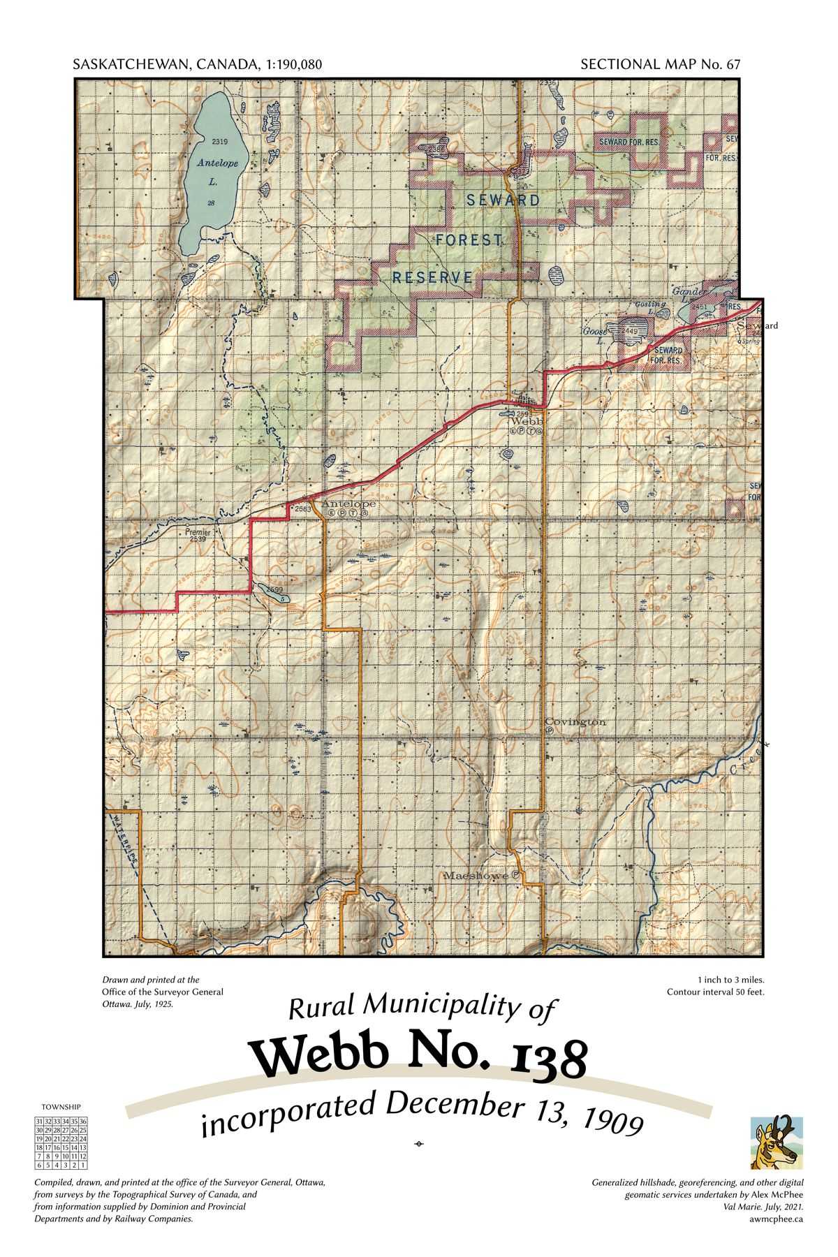
A map of the Rural Municipality of Webb No. 138.

Webb No. 138

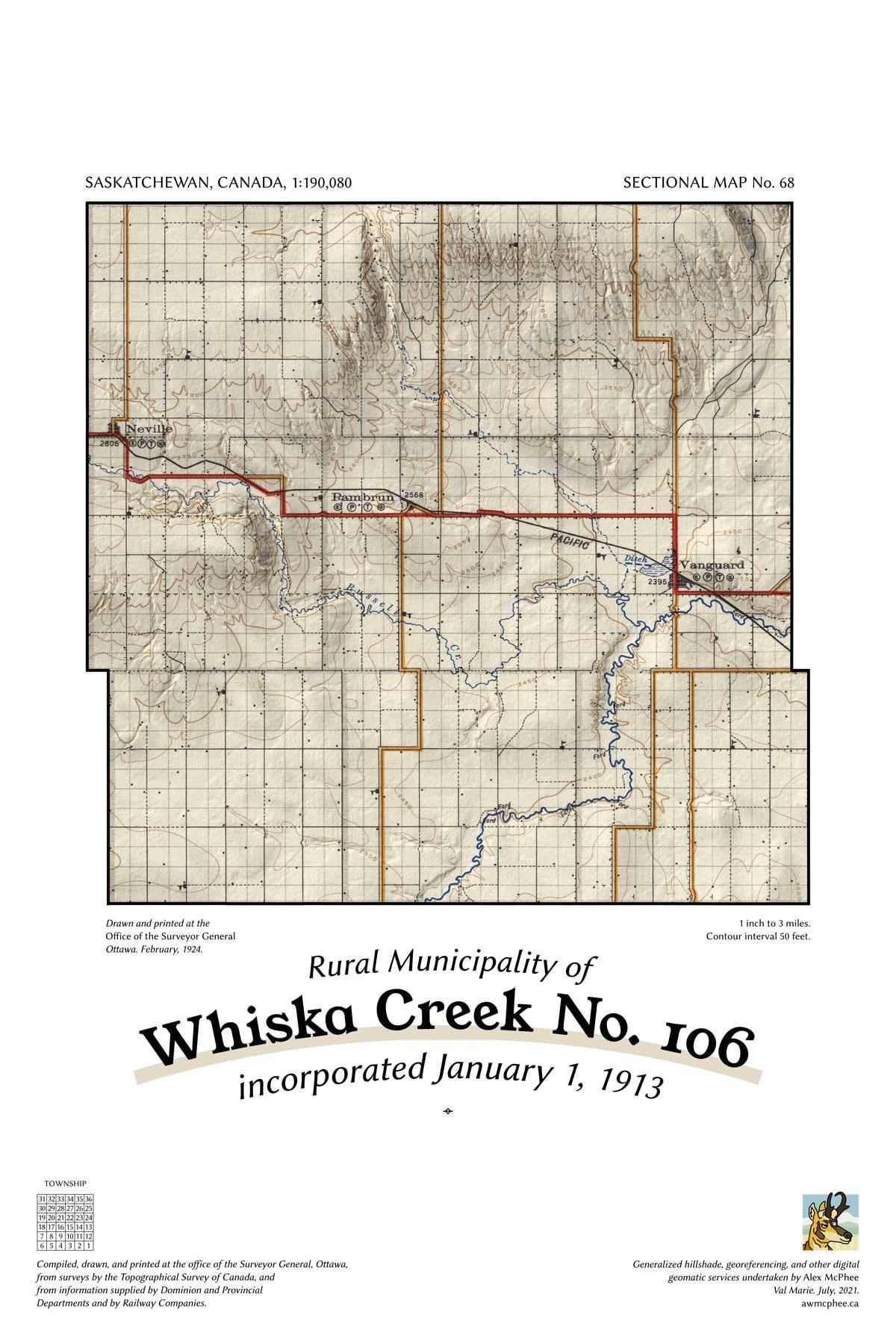
A map of the Rural Municipality of Whiska Creek No. 106.

Whiska Creek No. 106

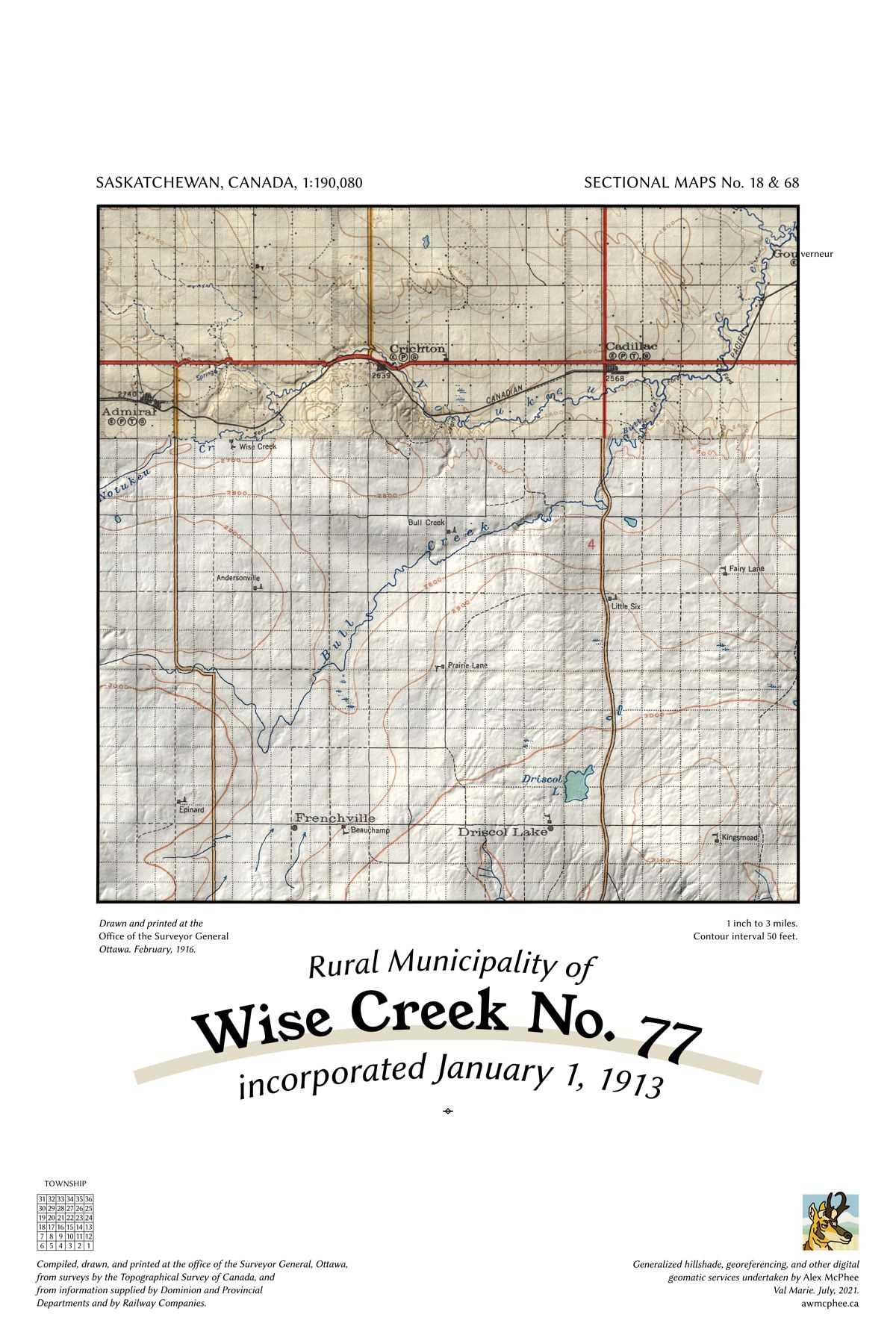
A map of the Rural Municipality of Wise Creek No. 77.

Wise Creek No. 77

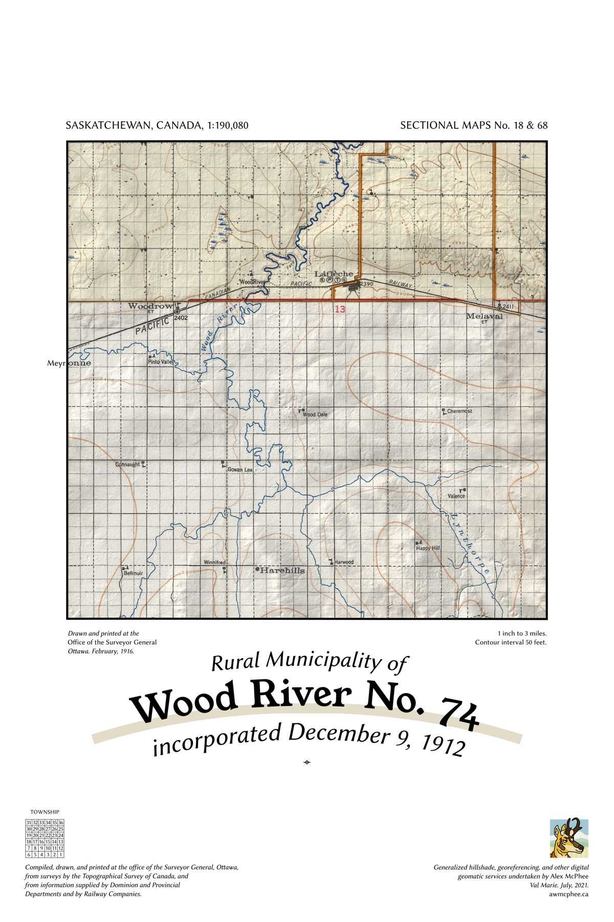
A map of the Rural Municipality of Wood River No. 74.

Wood River No. 74

Contact me about larger RMs requiring large-format layouts, the specific sources used, or anything else. I'm always happy to work with local historical societies and other groups.

A postage stamp
Nowadays you'll need at least two pronghorn stamps to deliver anything.
alex@awmcphee.ca
Box 201, Val Marie SK, S0N 2T0