
Alex McPhee
Pronghorn Maps
McPhee's Alberta
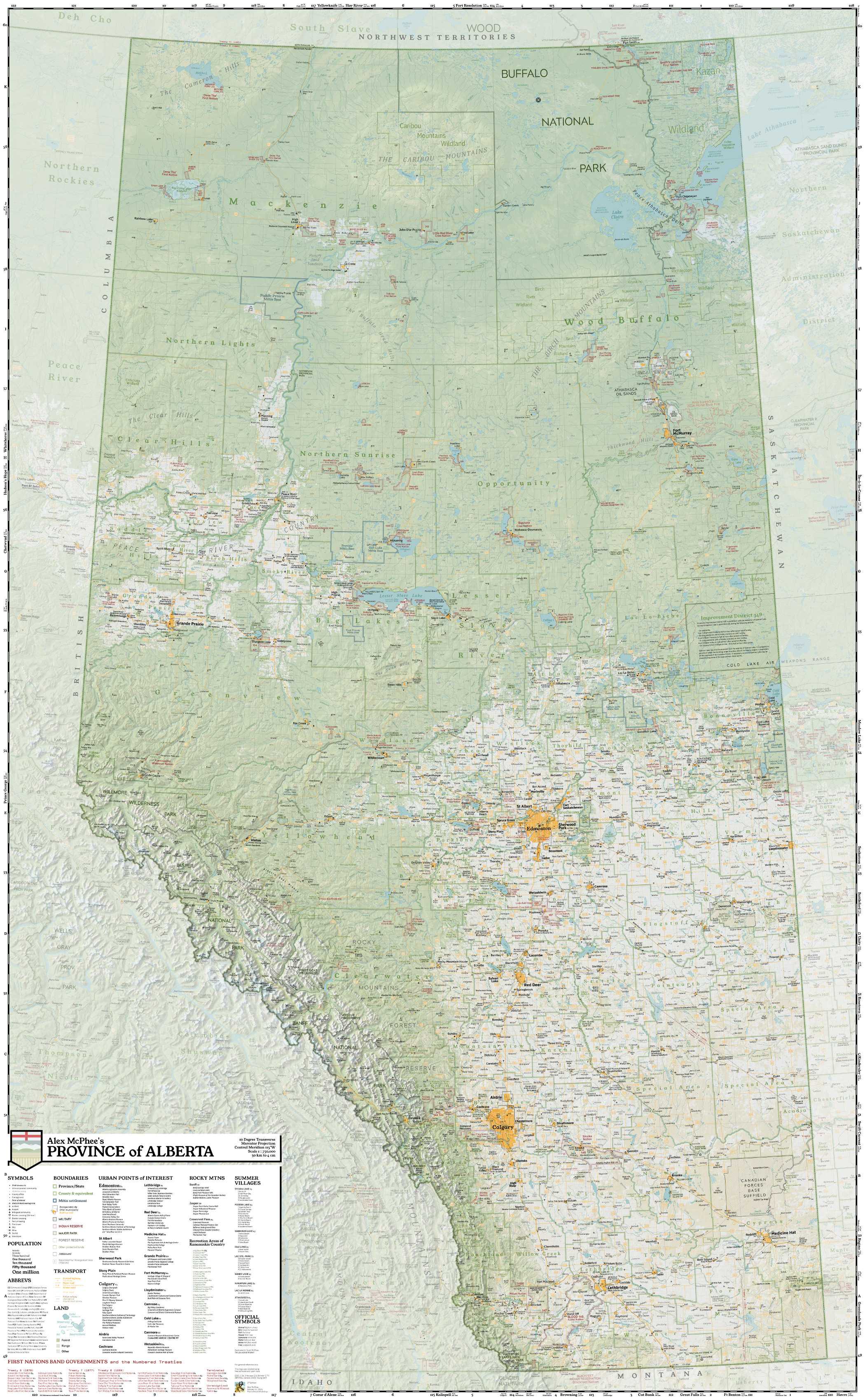
Award-winning wall map shows the province in unique detail
Click map to open preview in new tab. (7.84MB)
As covered by...
I'm a self-taught, independent cartographer.
This map was created over the last three years, using open-source software and public-domain resources. It has won multiple international awards.
I have ensured its accuracy by personally visiting every county in the province.
I invite you to experience Alberta as I see it.
Features

The “reference map” is a traditional style of wall map. The idea is simple: provide a clear and balanced overview of everything that's interesting.
I started personally travelling to collect data in 2018. But Alberta was even more interesting than I thought, so packing it all into a single canvas ended up taking about 1,000 hours.
Here are some things you won't see on any other map:
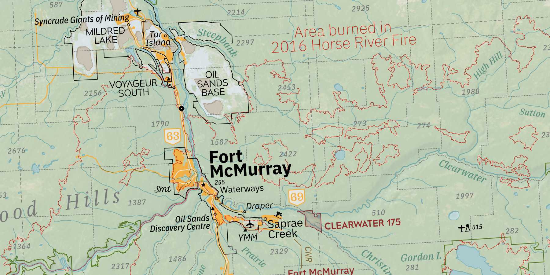
How big was the 2016 Fort McMurray wildfire?
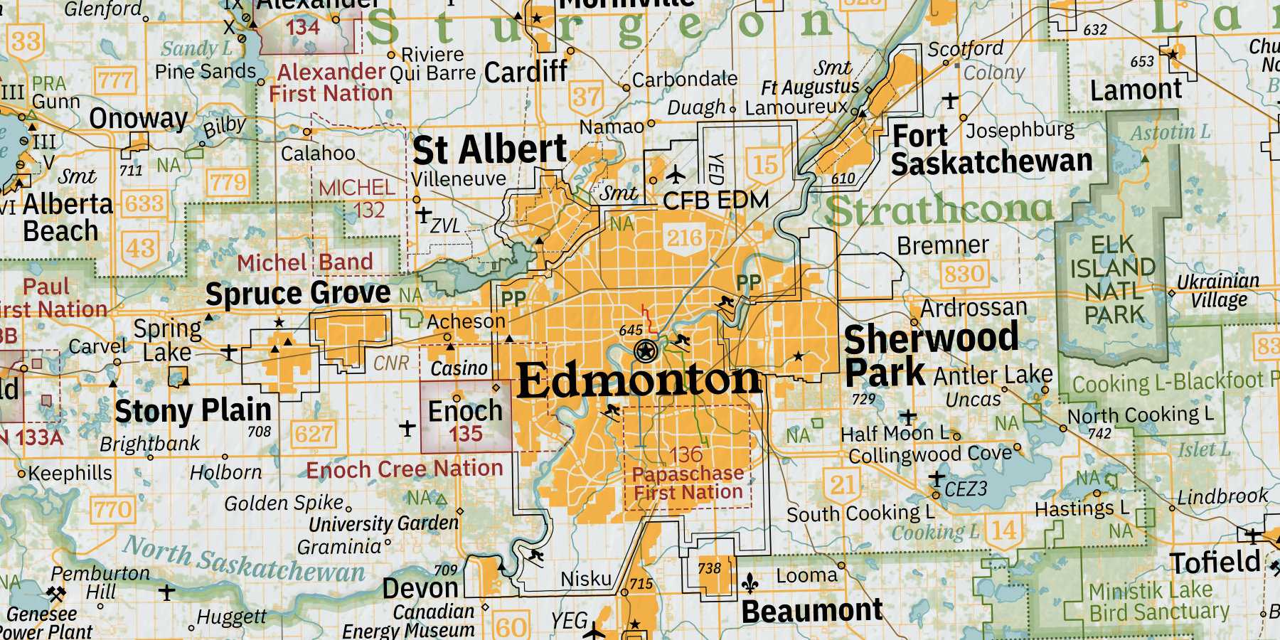
How much of Edmonton is built on the Papaschase reserve?
How many Hutterite colonies are there?
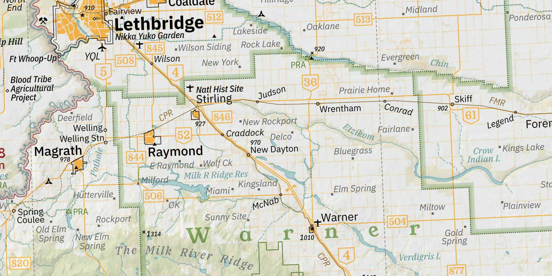
Or maybe you're just interested in a complete inventory of abandoned railway stations, parks and public lands, First Nations and traplines, campgrounds provincial and public.

Buy
McPhee's Alberta finally came into the world during April 2021, when I ordered 2,000 copies from a Canadian offset printing press.
At 42" x 68", the map brings immaculate geographic detail to any indoor space. Plus, it's extremely affordable for a wall-size print from an independent artist.
Maps are $70 laminated, $60 unlaminated.
Get one here.
